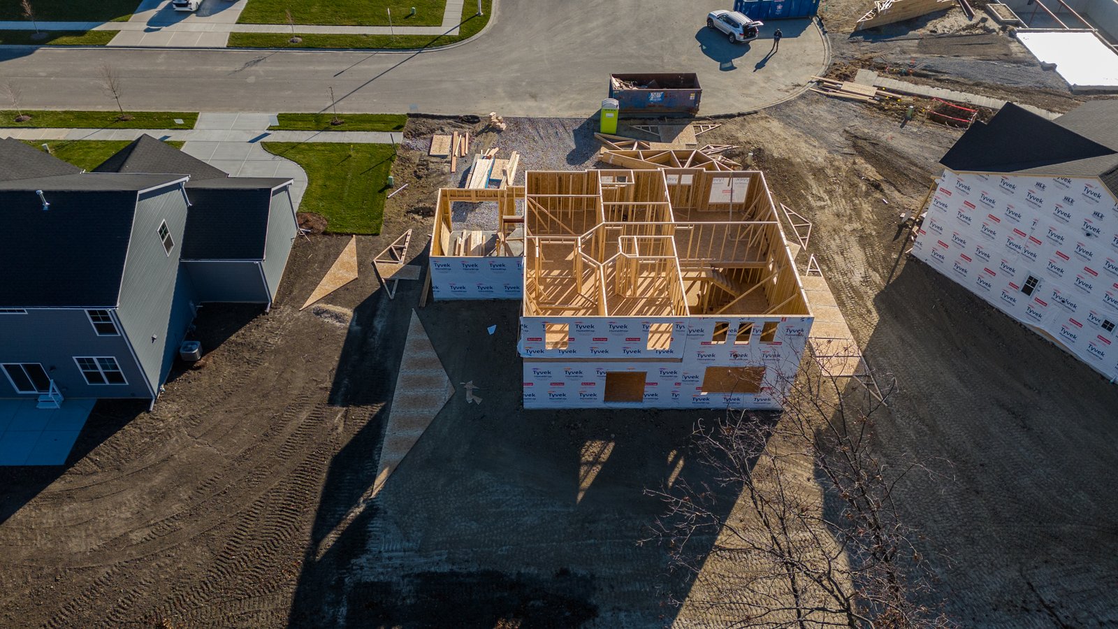
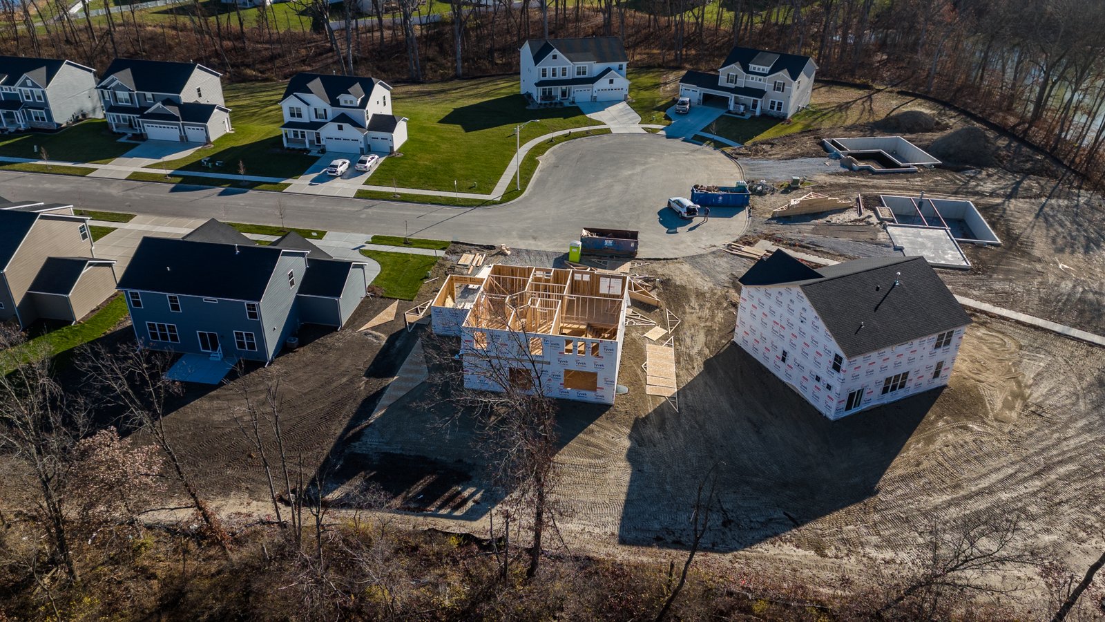
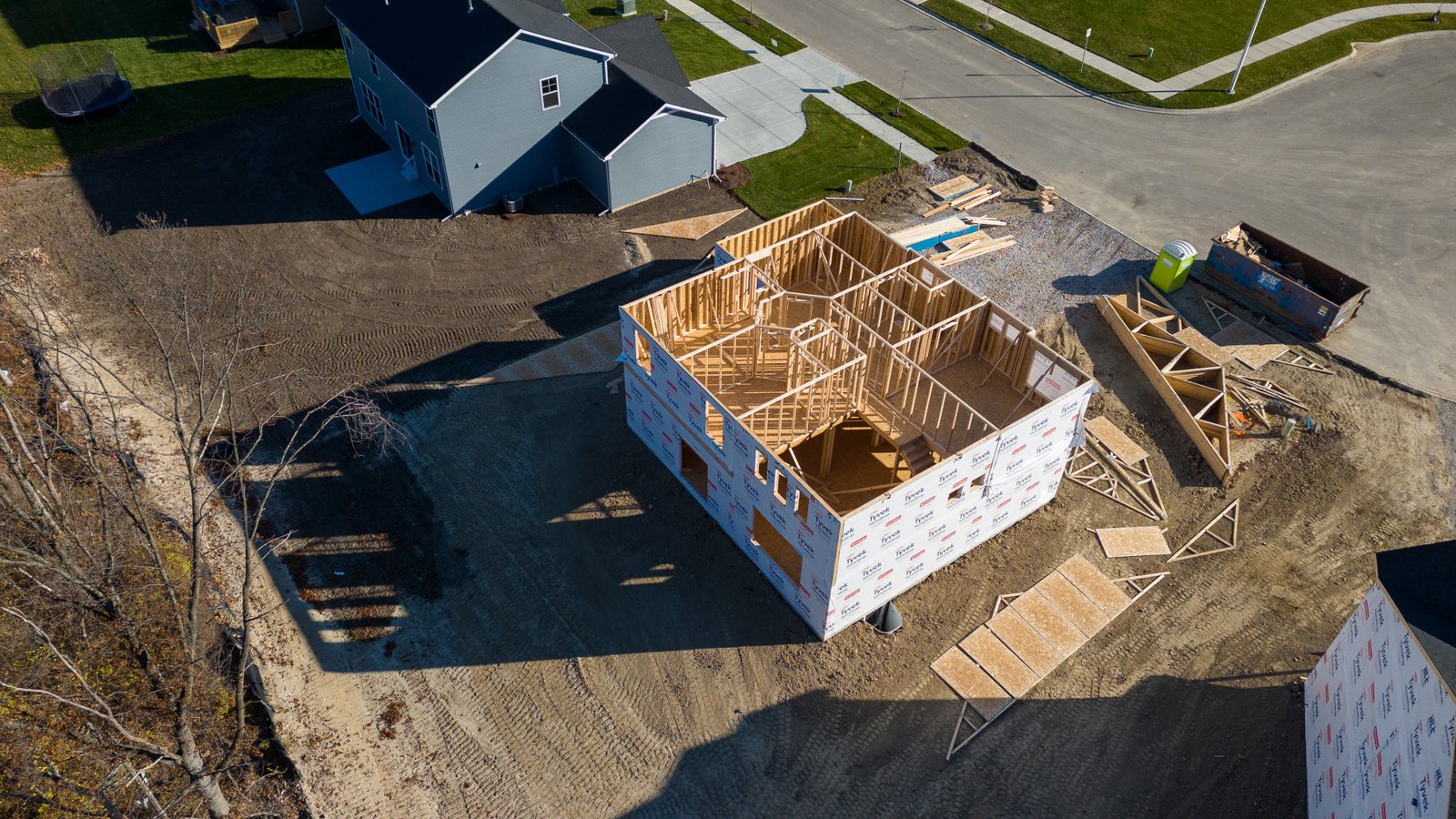

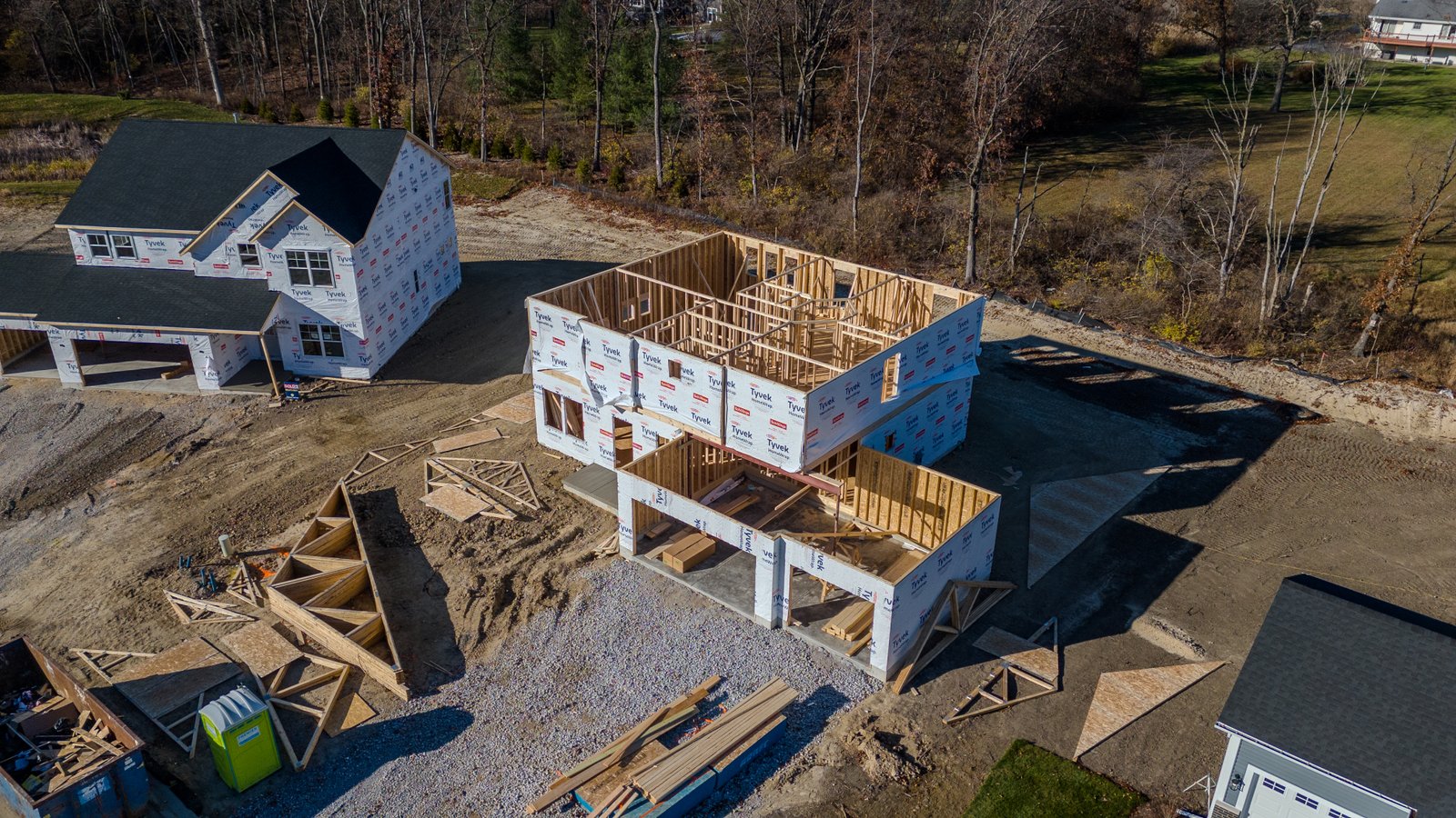
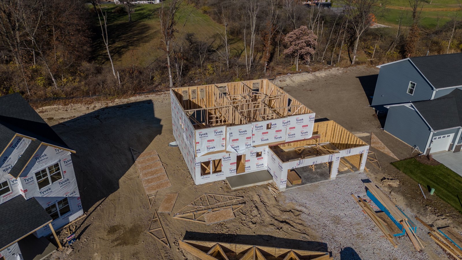

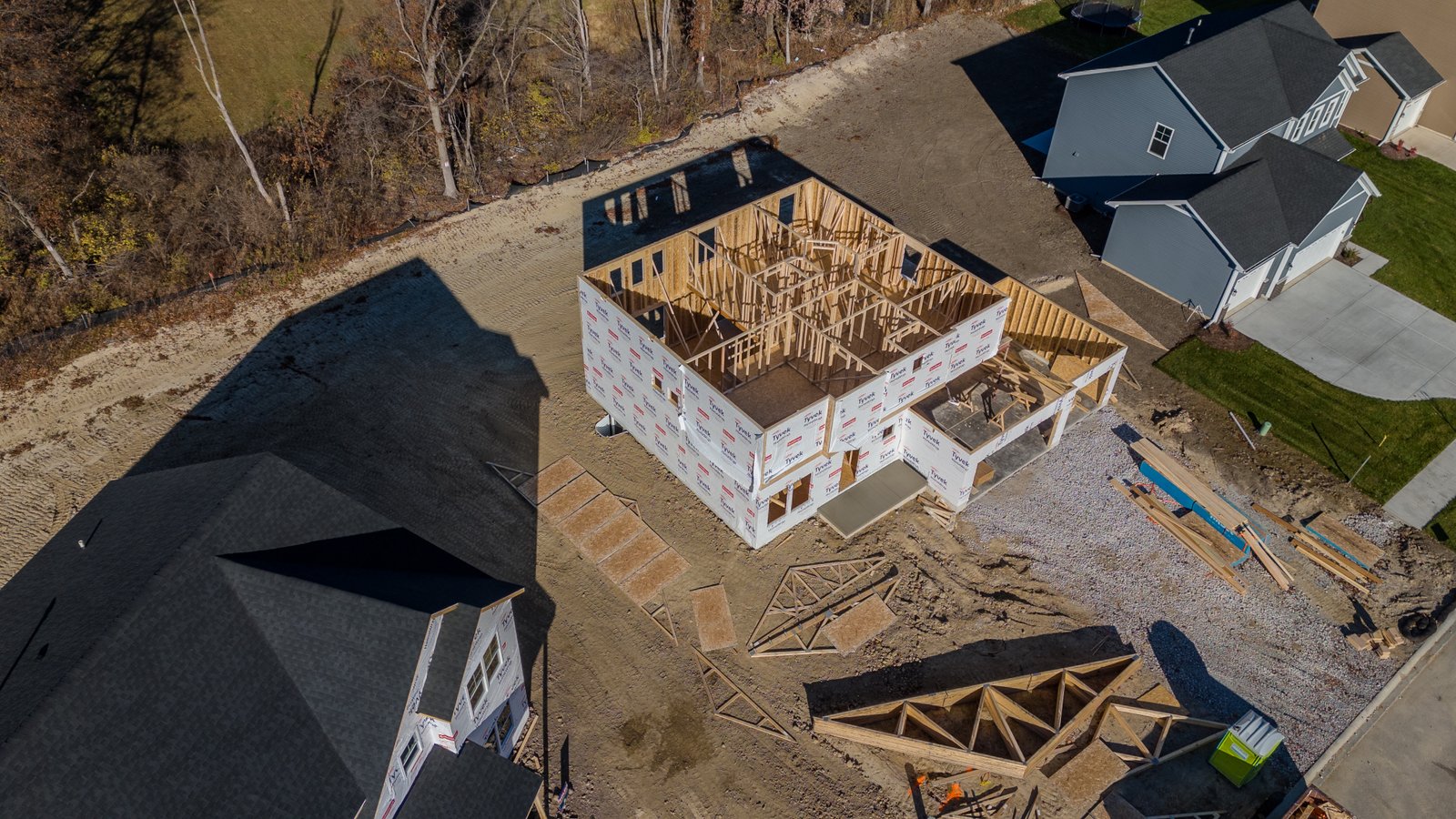
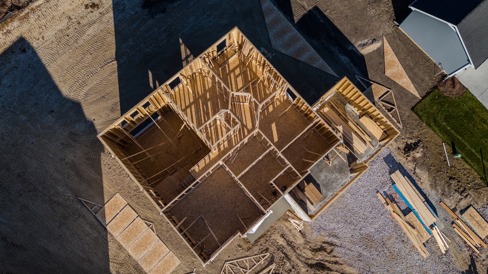

Elevate your construction projects with our cutting-edge drone technology.
Experience enhanced precision and efficiency, as our drones revolutionize site management and planning, bringing your vision to life with innovation and accuracy.
1. High Resolution Aerial Imagery: They provide detailed, high-resolution aerial views of construction sites, allowing for accurate and comprehensive site analysis and planning.
2. Improved Accuracy and Measurement: Orthomosaic maps enable precise measurements of distances, areas, and volumes directly from the images, leading to more accurate project planning and resource allocation.
3. Time and Cost Efficiency: By providing a comprehensive overview of a construction site, these maps reduce the need for frequent site visits, saving time and resources.
4. Enhanced Monitoring and Progress Tracking: They allow for consistent monitoring of construction progress over time, helping to identify potential issues early and keep the project on schedule.
5. Integration with GIS and CAD: Orthomosaic maps can be easily integrated with Geographic Information Systems (GIS) and Computer-Aided Design (CAD) software, enhancing the planning and design process with real-world context.
6. Environmental Impact Assessment: They help in assessing and minimizing the environmental impact of construction projects by allowing for careful analysis of the surrounding landscape.
Try out our demo, you can take measurements, switch between elevation and satellite views, make notations and more! Refresh the page to reset the example.
Efficiency is Key in construction and drones excel in this aspect. They can swiftly cover vast areas of a construction site, delivering quick and comprehensive updates. This capability is crucial for staying on schedule and adapting to any unforeseen changes.
Drones provide unparalleled precision in data collection, capturing high-resolution images and videos. This data is instrumental in creating detailed maps and 3D models, ensuring that every aspect of the construction project is accurately documented.
One of the most significant contributions of drones is to construction site safety. They minimize the need for workers to access hazardous or hard-to-reach areas, significantly reducing the risk of accidents and ensuring compliance with safety regulations.
While drones require an initial investment, they prove to be cost-effective in the long run. By reducing the manpower and time needed for site inspections, drones help in cutting down overall project costs.
Communication is vital in construction projects, and drone footage plays a critical role in this. It provides a clear, comprehensive view of the site, facilitating better understanding and collaboration among project stakeholders.
Regular drone surveys are instrumental in early issue identification, allowing for timely interventions. This proactive approach leads to more effective project management, potentially reducing delays and cost overruns.
Drones also assist in environmental monitoring, ensuring that construction projects comply with environmental standards. They can assess factors like erosion control and the impact on surrounding ecosystems, promoting sustainable construction practices.
The footage and data collected by drones serve as an invaluable historical record of the construction project. This archive can be used for future reference, dispute resolution, and training purposes.
Our site monitoring package includes ten high quality pictures from all angles of the project to ensure no detail is missed.


